Whitech Utility Locates specialises in Locating, identifying and protection of Underground services in the metropolitan and regional areas of Western Australia.With over 15 years of experience in the industry, our team strives itself on delivering a high level of quality work to meet the client’s satisfaction.
UTILITY LOCATING
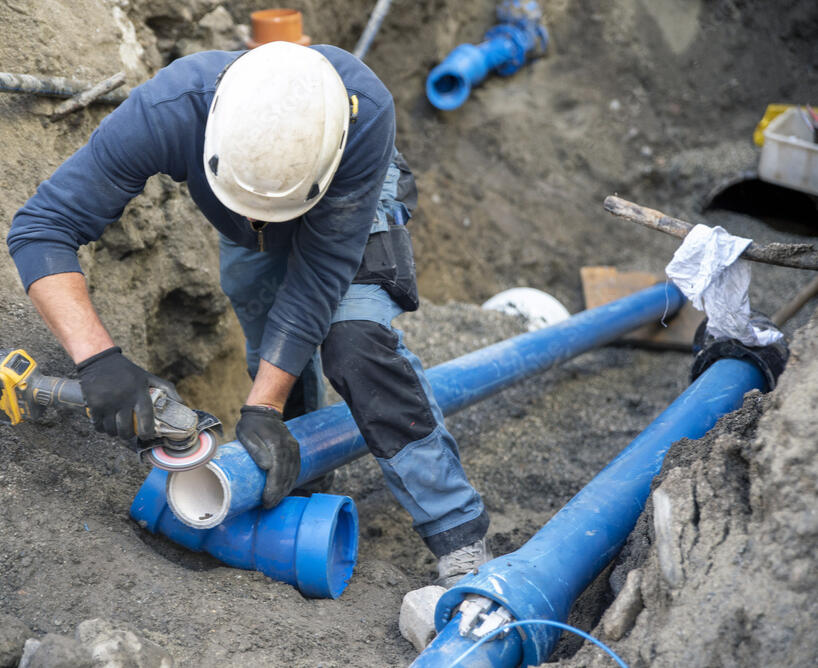
Whitech Utility Locates our a DBYD accredited locating company who specialise in locating of underground assets. Our team are experts in detecting underground utilities are we utilise a selection of techniques and top of the range technologies to ensure precision accuracy. We can detect and locate buried cable, pipes, mains and other underground services.
Our cable and pipe locating services are accurate and will provide you with the information you require to complete you ground-breaking activities safely.
UTILITY TYPES
- Water (Mains & Domestic)
- Sewer Mains (Mains & Domestic)
- Telecommunications Cables
- Optic Fibre Cables
- Power Assets
- Gas Mains
- Stormwater
UTILITY MATERIALS
- Copper Wires
- Aluminium wires
- Concrete Pipe
- Polyvinyl Chloride Pipes (PVC)
- Polyethylene Pipes (PE)
- Steel Pipes
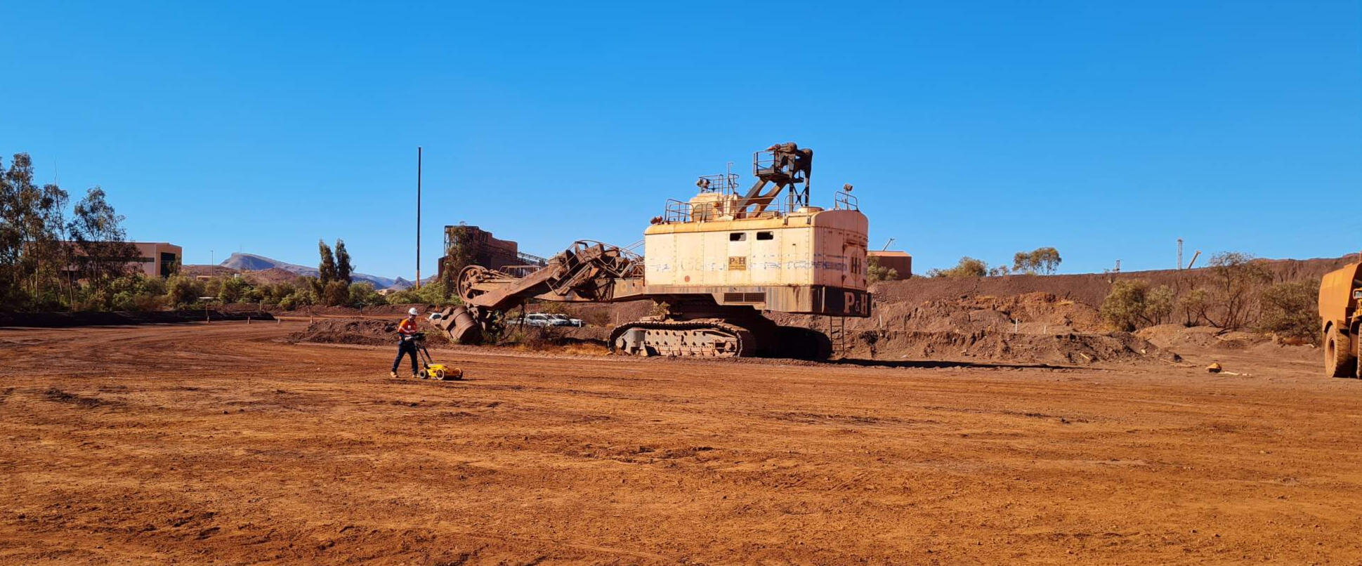
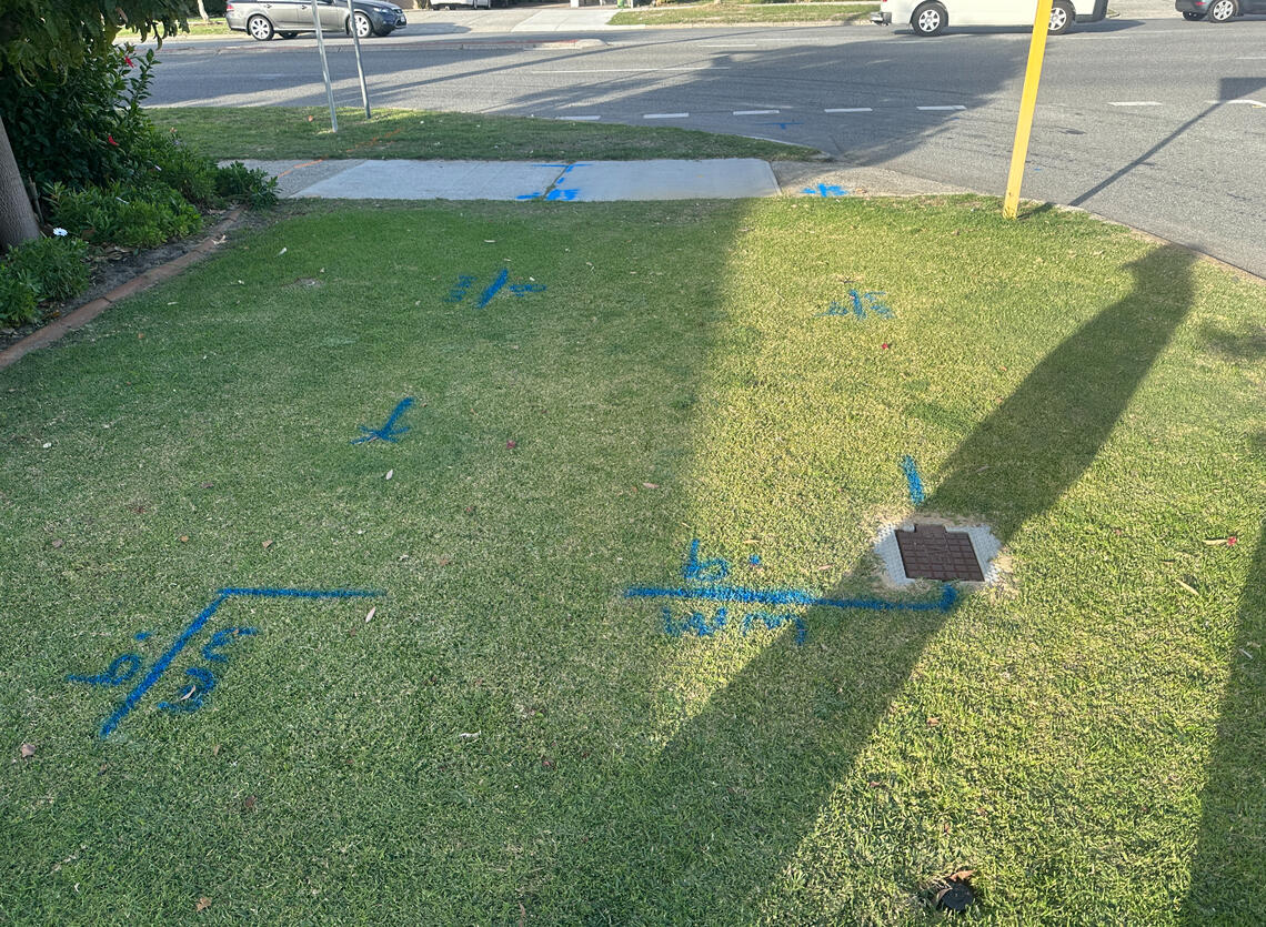
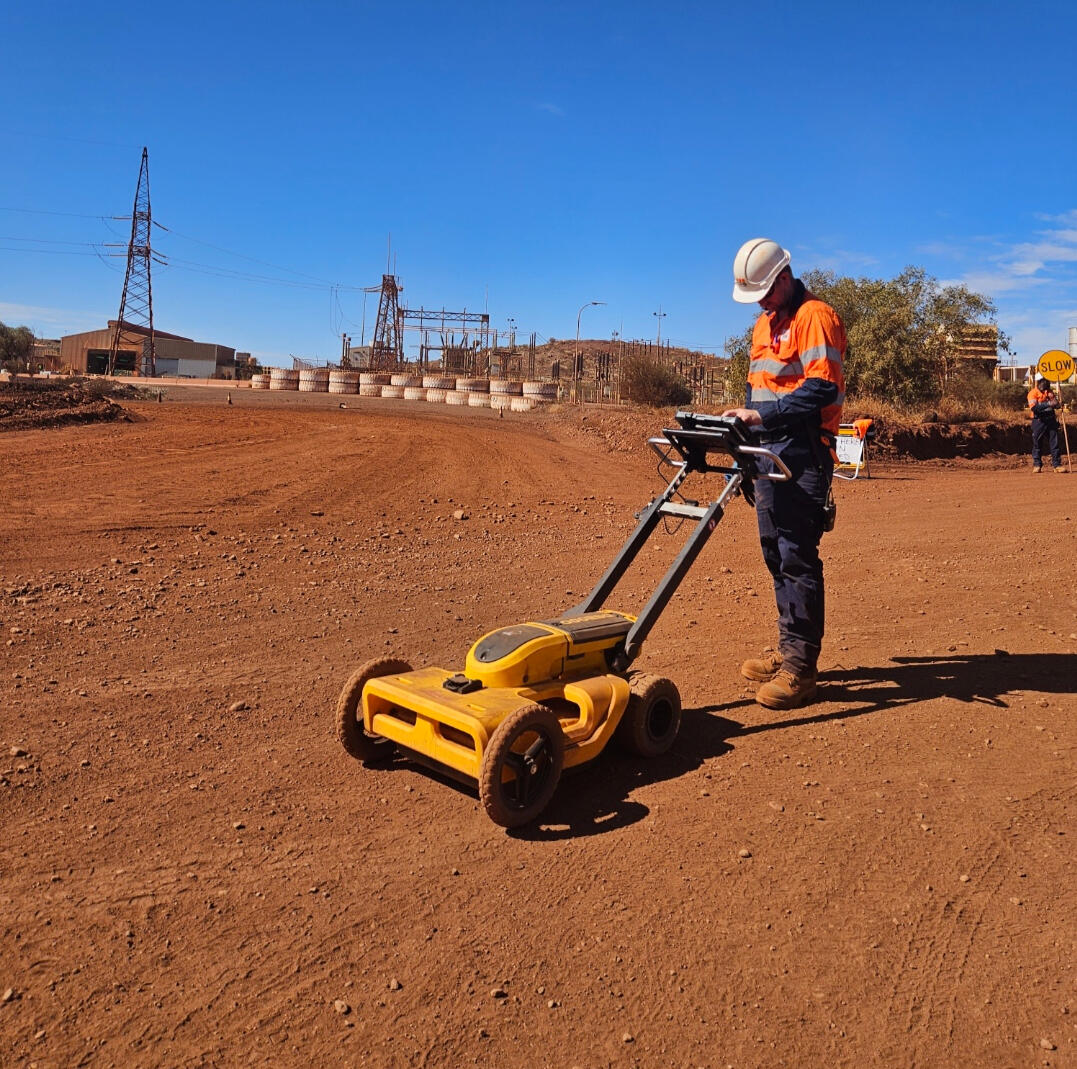
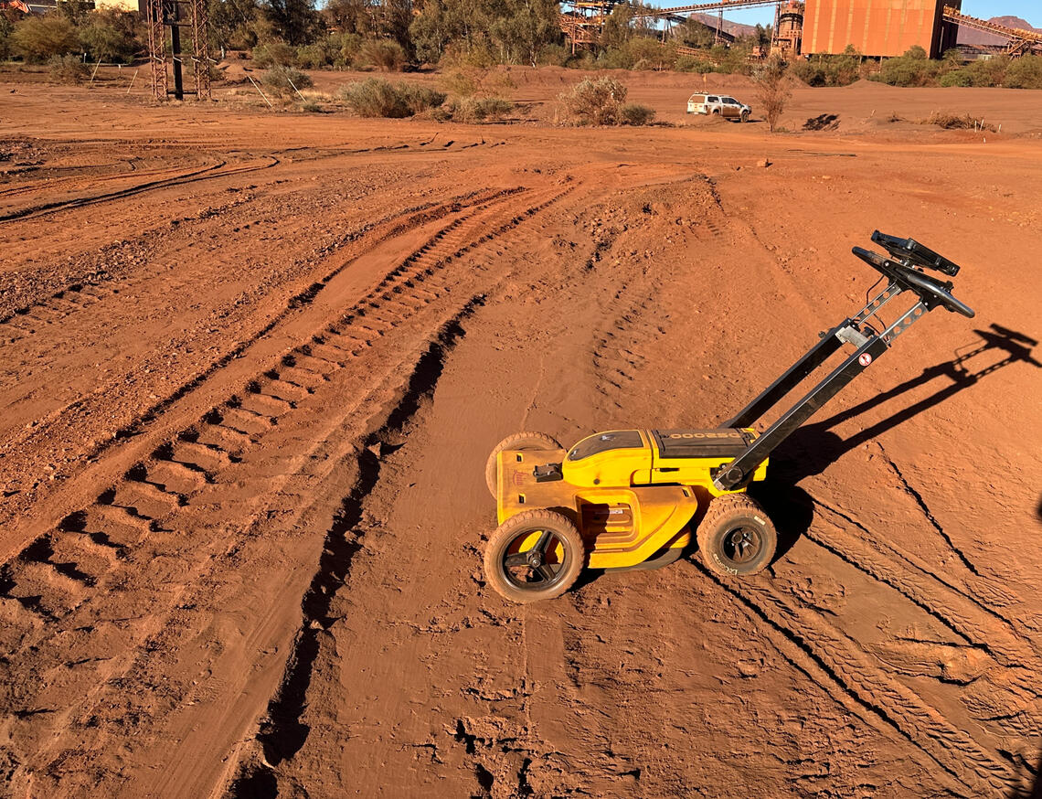
GROUND PENETRATING RADAR
Whitech Utility Locates utilises Ground Penetrating Radars (GPR) to identify underground assets in a non-invasive manner. GPR is preferable to traditional, invasive methods of service locating, such as potholing, and enables our team to conduct ‘blind searches’, should our clients not have access to existing utility information.
WHAT IS GROUND PENETRATING RADAR
A Ground Penetrating Radar (GPR) is a specialist piece of equipment that uses radio Waves to gather data from beneath the earth’s surface. The GPR uses radar waves that penetrate
the ground to collect data which displays where buried objects are.
WHAT DOES IT DETECT?
- Metal
- Plastic
- PVC
- Concrete
- Natural Materials
WHAT SURFACE CAN IT BE USED ON?
- Bitumen Roads
- Grass
- Concrete Slab
- Many other Surfaces
MAPPING AND SURVEY
With our experienced and versatile staff, we combine the latest Surveying technology with highly skilled staff to deliver a high accuracy survey to meet you project needs.
Whitech Utility Locates offer a range of CAD (Computer-Aided Design) and BIM (Building Information Modelling) 3D modelling services.

CLASH DETECTION
Our specialist modelling teams can develop 3D models from your design plans and documents, allowing you to compare this with existing site conditions to verify potential clashes before they occur on site.
Our team have a wealth of knowledge and experience to undertake any 3D modelling or drafting projects and can provide the following services:
- Plan Sets
- 3D Models
- GIS
- 12d
- BIM 3D Modelling
- Asset Visualisations
- UAV Imagery
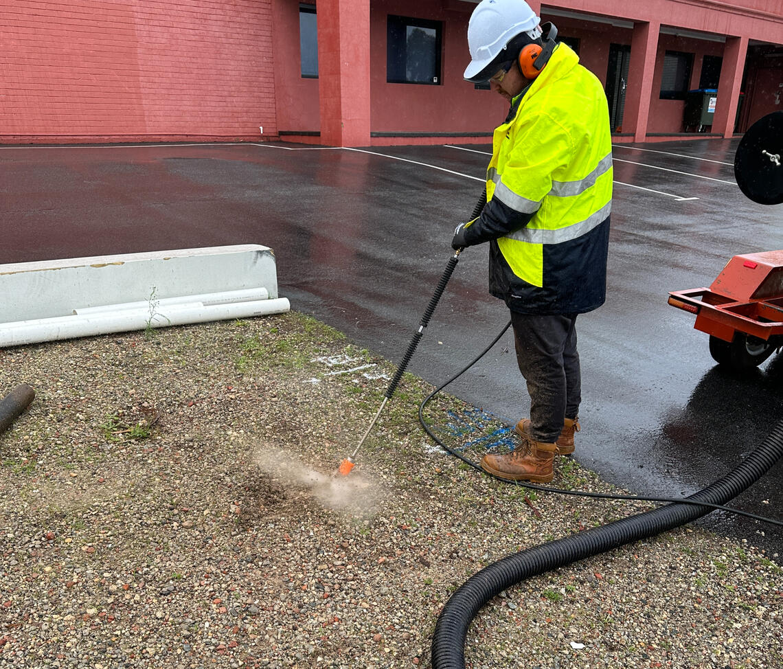
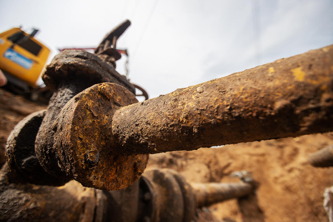
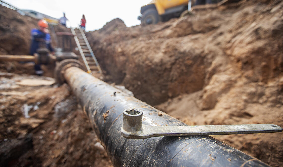
Vacuum Excavation to meet your project needs
Exposing utilities for accurate depth and survey recording
Non-destructive Utility Potholing
Non-destructive Excavation for utility installation
Non-Destructive pit cleaning
Excavation under existing structures
Excavation across conflicting services
Excavation around tree roots where utility conflicts exist
Non-Destructive Digging (NDD)
Vacuum Excavation
Vacuum Excavation is a safe, non-destructive way to locate and identify underground utilities. Using Vacuum Excavation, we can quickly and safely conduct small or large scale excavations in a variety of different ground conditions.
We use Non-Destructive Digging (NDD) Vacuum Excavation to confirm and identify underground assets to ensure compliance with Australian Standard AS 5488-2013 Subsurface Utility Information (SUI) Quality A (QL-A).